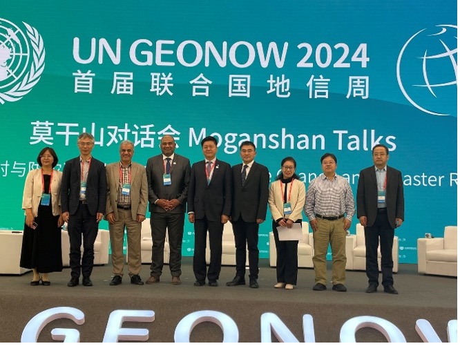
October 21-24, Deqing, China
The United Nations Geospatial Knowledge and Innovation Week 2024 was taking place in Deqing, China, bringing together global leaders, experts, and innovators to discuss the transformative role of geospatial technologies in addressing some of the world’s most pressing challenges. Among the key topics of the event is Climate Change and Disaster Risk Reduction, a session packed with insights and groundbreaking strategies aimed at mitigating the effects of natural hazards.
The session featured distinguished presenters, including the Dr. Siquan Yang, Director of the National Institute of Natural Hazards from China’s Ministry of Emergency Management, Dr. Antonius Bambang Wijanarto, the President of the United Nations Global Geospatial Information Management for Asia and the Pacific (UN-GGIM-AP), and Dr. Hamid Mehmood, the Economic Affairs Officer of the United Nations Economic and Social Commission for Asia and the Pacific. These experts shared their perspectives on how geospatial technologies can be leveraged to enhance disaster preparedness and response.
Among the panelists was Professor Saeid Pirasteh, a leading expert from the Institute of Artificial Intelligence at Shaoxing University and an advisory board member of the UN-GGIM Academic Network. Professor Pirasteh delivered a thought-provoking presentation on the importance of spatiotemporal information in strengthening disaster response capabilities. Professor Pirasteh’s insights into the Power of GeoAI. In his presentation, Professor Pirasteh emphasized the critical role of GeoAI in disaster risk reduction. He highlighted how dynamic and interactive maps generated through GeoAI can provide real-time data to enhance decision-making during emergencies. He underscored the potential of GeoAI to bridge the gap between environmental multiple hazards and socioeconomic and ecological challenges, calling for its integration across multiple sectors.
The session discussed both the opportunities and challenges of using spatiotemporal data to improve disaster response capabilities. Professor Pirasteh pointed out that while GeoAI offers innovative tools for mapping hazards, generating models, and designing algorithms, there are still hurdles to overcome in digital transformation and data sharing.
He encouraged young researchers, policymakers, and the private sector to actively engage with GeoAI technology, noting that collaboration across these sectors is essential for developing sustainable solutions that can prevent disasters before they strike.

