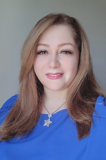
Dr. Fahimeh Youssefi, born on September 16, 1986, in Tehran, Iran, has a bachelor's degree in Geomatics Engineering, while master's and doctoral degrees in Geomatics Engineering, specializing in Photogrammetry and Remote Sensing, were pursued at K.N. Toosi University of Technology.
A pioneering spirit characterizes the academic and research journey undertaken. The first geomatics startup in Iran was established at K.N. Toosi University of Technology, with various innovative projects initiated in collaboration with the university. Endeavours included the estimation of the cultivated area of agricultural products in Iran, the design and implementation of a calibration site for satellite imaging sensors, the development of a radiometric and geometric image processing system, and the design and implementation of an automatic updating 3D Geo-spatial database using satellite and aerial imagery.
From 2018 to 2023, a role as a university lecturer was assumed at the Faculty of Engineering, Islamic Azad University, Tehran South Branch, where specialized courses in Photogrammetry and Remote Sensing were delivered. Concurrently, from the beginning of 2019 to early 2023, a teaching assistant position was held at K.N. Toosi University of Technology.
The master's thesis centered on image processing, utilizing high-spatial-resolution satellite imagery for the identification of urban area changes. For the doctoral thesis, engagement in interdisciplinary exploration within the realms of remote sensing, public health, and hydrology was undertaken. By employing machine learning algorithms alongside remote sensing and meteorological data, successful predictions of malaria vector breeding habitats were achieved. The maps generated from these regions could prove instrumental in efficient malaria vector control for public health purposes.
Research interests encompass environmental remote sensing, the application of remote sensing in the health sector, climate change, change detection, and space photogrammetry. Throughout the academic journey, dedication to advancing our understanding of the world through the lens of geospatial sciences has been maintained.